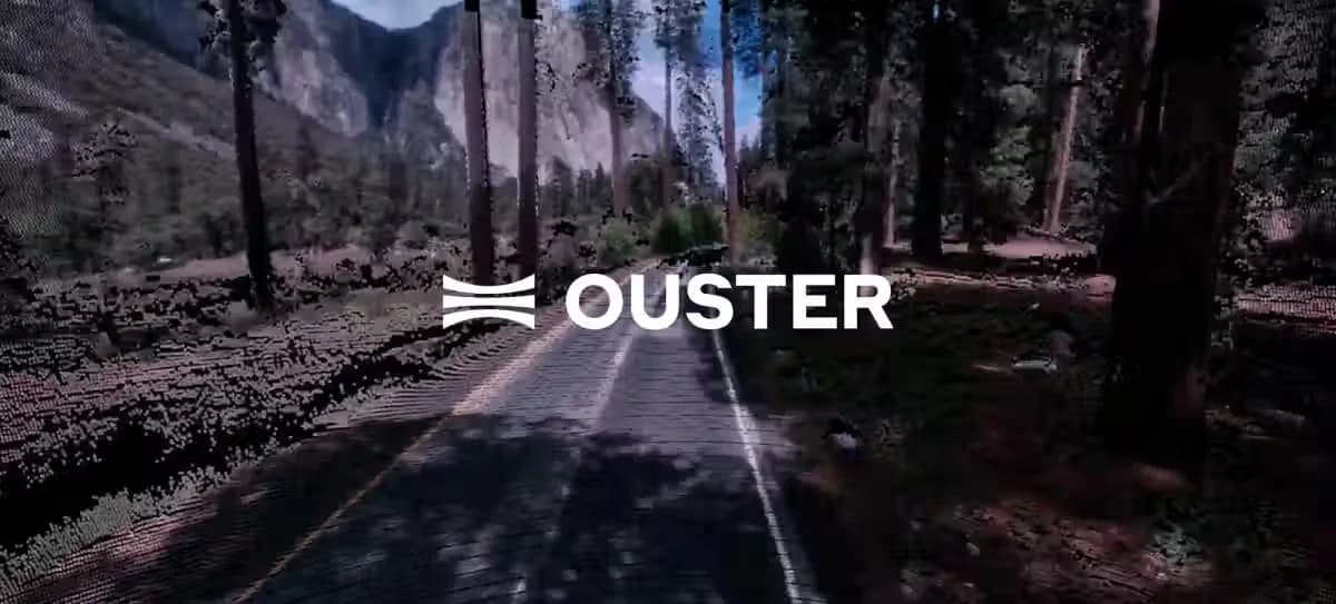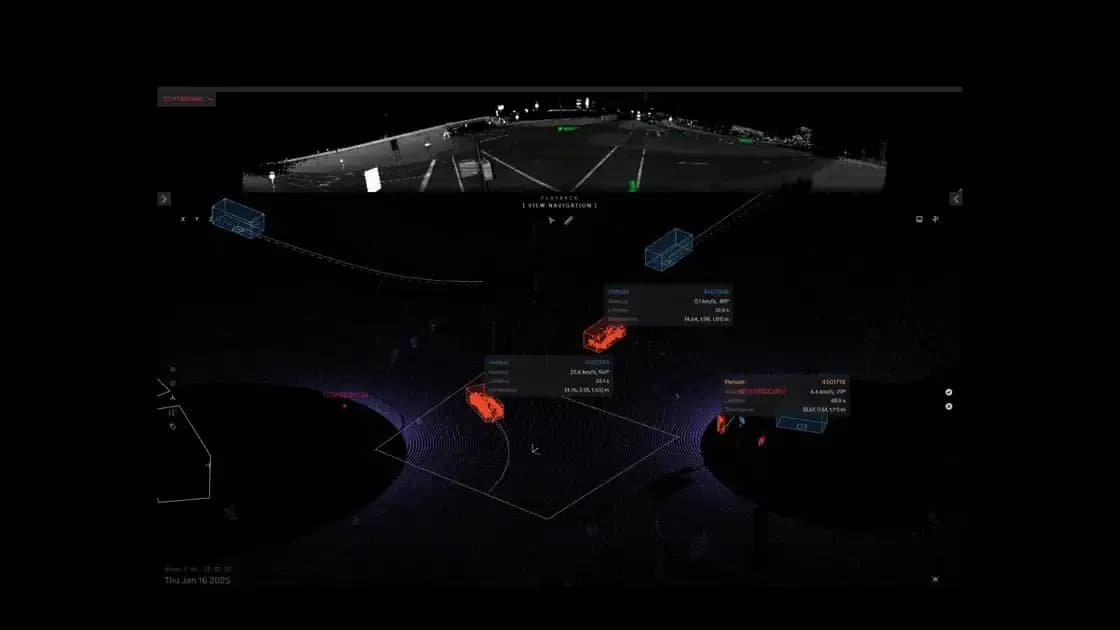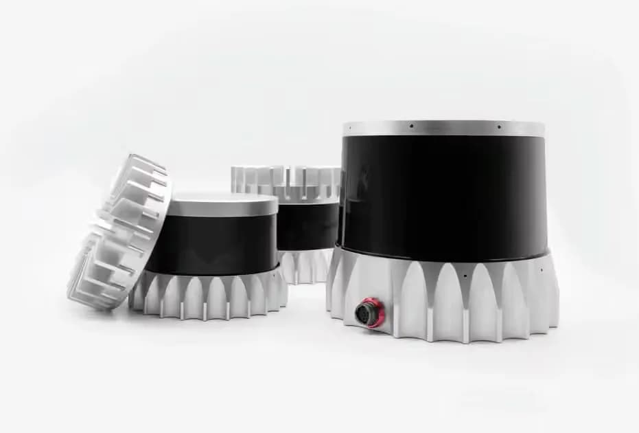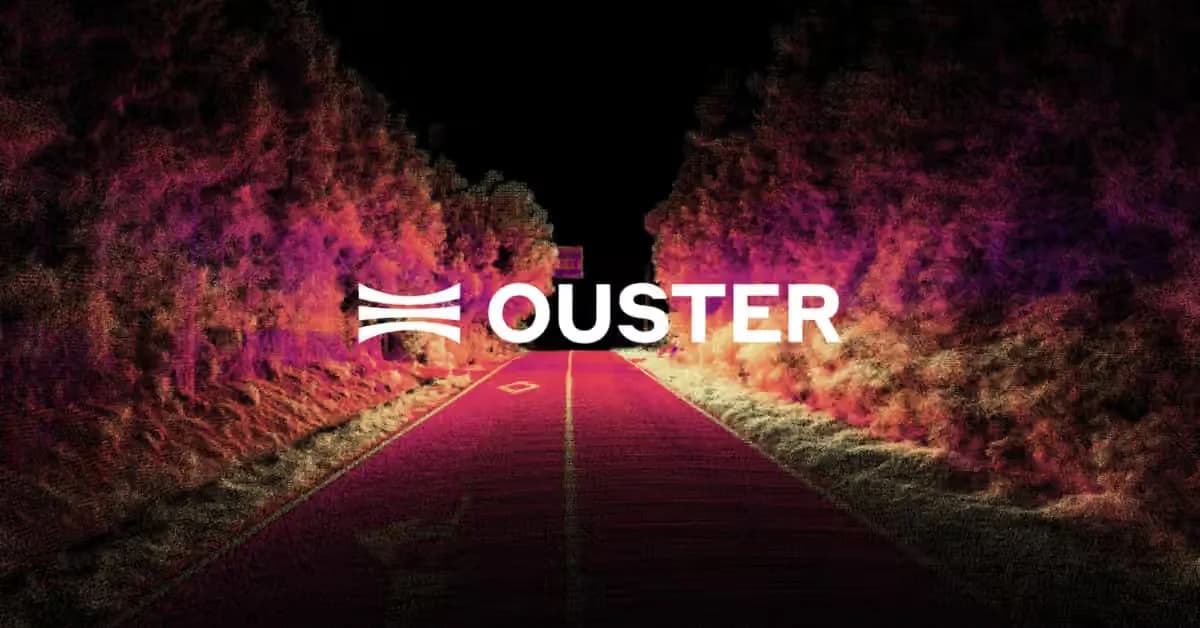
Lidar (light detection and ranging) uses eye-safe laser beams to “see” the world in 3D, providing machines and computers an ultra accurate representation of the surveyed environment.
Lidar (light detection and ranging) is a sensing technology that measures distance with pulses of laser light. A lidar sensor times how long each pulse takes to reflect off a surface and return, then turns millions of those measurements into a 3D point cloud that machines use to see, map and navigate.
What does lidar stand for?
Lidar stands for light detection and ranging. The name describes what the sensor does: it detects objects with light and measures the range, or distance, to each one. You may also see it written as LiDAR or LIDAR, and it is sometimes called laser scanning or 3D scanning.
How does lidar work?
Emission.
A typical lidar sensor emits pulsed light waves into the surrounding environment.
Return.
These pulses bounce off surrounding objects and return to the sensor.
Calculation.
The sensor uses the time it took for each pulse to return to the sensor to calculate the distance it traveled.
What is lidar technology made of?
Every lidar sensor combines four parts: a laser that emits light, a detector that captures the light that comes back, timing electronics that convert each round trip into a distance, and a way to steer the beams across the scene. The output is a point cloud, a set of 3D points that each carry a position and usually a reflectivity value.
What are the main types of lidar?
- Spinning lidar: rotates its beams to see 360 degrees around the sensor, which suits robots, vehicles and mapping.
- Solid-state lidar: has no large moving parts and looks in one direction, with a narrower field of view.
- Flash lidar: lights the whole scene at once instead of scanning it. Read how multi-beam flash lidar works.
- FMCW lidar: measures distance with a continuous, frequency-modulated beam instead of short pulses.
- Digital lidar: builds the laser emitters and detectors onto semiconductor chips, so performance improves as the chips improve. This is the approach Ouster uses, and Ouster Rev8 sensors add native color lidar, capturing color in the same sensor as the 3D points.
What is lidar used for?
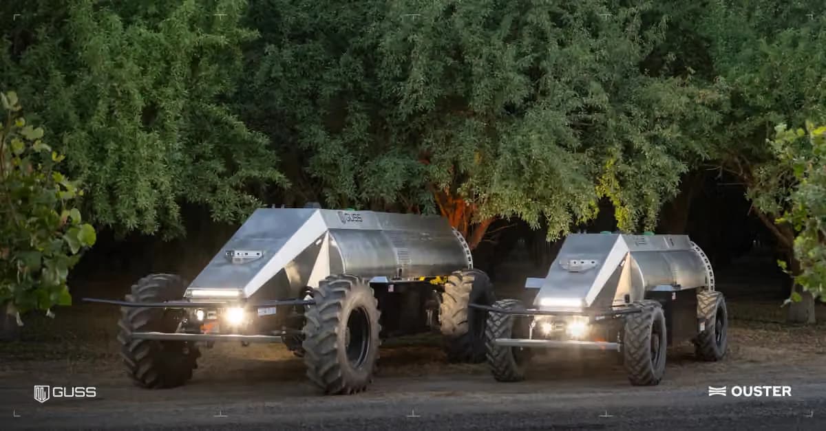
Lidar gives machines an accurate 3D view in any lighting, so it is used wherever a system needs to measure the world around it: robots and autonomous mobile robots, forklifts and industrial automation, traffic monitoring and smart intersections, perimeter security, drone mapping and surveying, and vehicles and trucks. Robots often pair lidar with SLAM (simultaneous localization and mapping) to build a map and locate themselves in it.
Frequently Asked Questions about Lidar.
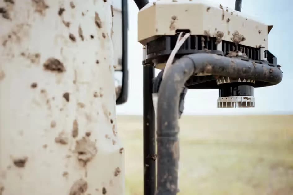
Lidar is an acronym for “light detection and ranging.” It is sometimes called “laser scanning” or “3D scanning.” The technology uses eye-safe laser beams to create a 3D representation of the surveyed environment. Lidar is used in many industries, including automotive, infrastructure, robotics, trucking, UAV/drones, industrial, mapping, and many more. Because lidar is its own light source, the technology offers strong performance in a wide variety of lighting and weather conditions.
A typical lidar sensor emits pulsed light waves from a laser into the environment. These pulses bounce off surrounding objects and return to the sensor. The sensor uses the time it took for each pulse to return to the sensor to calculate the distance it traveled. Repeating this process millions of times per second creates a real-time 3D map of the environment. An onboard computer can utilize this 3D map of the surrounding environment for navigation.
Both measure distance by sending out a signal and timing its return. Radar uses radio waves; lidar uses light. Because light has a far shorter wavelength, lidar resolves the shape and exact position of objects in much finer detail, so it can tell a pedestrian from a pole. Radar returns fewer, coarser points but measures speed directly. Many systems use both.
A point cloud is the 3D data a lidar sensor produces. Each point marks a spot where a laser pulse hit a surface, with its x, y and z position and a reflectivity value. Together the points form a measurable 3D model of the scene that software can use to detect objects, build maps or track movement.
Yes, laser and lidar technology has been used safely for a long time in a wide variety of applications worldwide. Lasers are used today in the public in supermarkets, light shows, and home security systems. Manufacturers follow strict guidelines to ensure the sensors pass eye-safety standards. Ouster Rev8 sensors are Class 1 eye safe under IEC/EN 60825-1:2014 and comply with FDA 21 CFR 1040 (Laser Notice 56).
No. Ouster is unique in offering a multi-generational family of lidar sensors with 360-degree field of view (FoV). There are certain applications, such as advanced driver assistance systems (ADAS), that do not require 360-degree FoV. In those cases, lidar with a directional FoV are available, such as Ouster’s Velarray family of sensors.
All sensors have defined fields of view (FoV) and resolutions. Blind spots or gaps in detection might occur based on the combination of sensors placed around the vehicle at specific locations. When multiple lidar sensors are mounted with care, placed to create overlapping FoV around the vehicle, it is possible to minimize or eliminate crucial blind spots. Sensors such as radar and cameras have weaknesses. Cameras struggle in dark and nighttime conditions and have limited visibility with high glare. Radar data has lower accuracy and resolution, with returned results less detailed than lidar.
Lidar sensors range from a handful of laser beams (or channels) to hundreds, depending on the application and the field of view. Ouster Rev8 sensors come in 32, 64 and 128 channel versions, and the OS1 Max offers up to 256 channels. A forklift can use a lidar with fewer channels because it moves more slowly than a car. As a robot or vehicle moves faster, the sensor needs more channels to produce images with higher resolution.
Cameras produce 2D images of the environment. Lidar “sees” in 3D, a huge advantage when accuracy and precision is paramount. The laser-based technology produces real-time, high-resolution 3D maps, or point clouds, of the surroundings, demonstrating a level of distance accuracy that is unmatched by cameras, even ones with stereo vision. Whereas cameras have to make assumptions about an object’s distance, lidar produces and provides exact measurements. For this reason, autonomous or highly automated systems require lidar for safe navigation. The ability to “see” in 3D cannot be underestimated. Lidar produces millions of data points at nearly the speed of light. Each point provides a precise measurement of the environment. Compared to camera systems, lidar’s ability to “see” by way of precise mathematical measurements decreases the chance of feeding false information from the vision systems to the car’s computer.
Camera performance is also greatly impacted by environmental conditions (e.g., bright sunlight/glare and darkness) and is therefore more susceptible to unpredictable blind spots and generating false positives or negatives. Whereas cameras are dependent on ambient light conditions and face challenges with darkness and glare, lidar provides its own light source and can therefore “see” in all lighting conditions.
Lidar has an additional technological advantage over camera systems: lidar allows the vehicle’s computer to “see” the driving environment from an overhead, bird’s eye perspective. The car navigates not only from a traditional driver’s point of view, but can also “see” itself from the perspective of a bird flying overhead, similar to the views offered in many video games. Thus, lidar “sees” more comprehensively than a person, simultaneously looking down on all sides of the car, road, and traffic. With accuracy and safety in mind, a lidar-centric autonomous system is a necessity. This means lidar is the central sensor and small inexpensive cameras can be added to the system for redundancy and extra care.
Current lidar sensors typically use one of two wavelength bands, around 905 nanometers (nm) or around 1550 nm. Ouster Rev8 sensors use an 865 nm laser. Click here to read more about lidar wavelengths.
We can better understand the differences between these wavelengths by comparing their performance with regards to safety, water absorption, and power consumption. Safety: Sensors using 850, 905 nm and 1550 nm wavelengths achieve eye-safety certification via compliance with the FDA eye-safety standard IEC 60825. If sensors are designed to meet eye-safety standards, all wavelengths can be used safely. Water Absorption: Given the variety of weather conditions cars encounter on the road, how a sensor’s laser pulses interact with water is an essential issue for automotive lidar. A key difference between , 850 nm, 905 nm, and 1550 nm wavelengths is that 905nm and 1550 nm waves get absorbed by water to a much greater extent than 850 nm waves, as discussed in a research paper published in Opto-Electronics Review. As a result, 1550 nm and 905 nm waves get substantially weakened under conditions of rain, fog or snow compared to 850 nm waves.
Power Consumption: To offset degradation due to water absorption and to achieve high range, 1550 nm and 905 nm systems generally send out more laser light to achieve performance comparable to 850 nm systems. As a result, 1550 nm and 905 nm systems typically consume more electrical power. Higher power could limit the maximum achievable operating temperature due to the challenge of dissipating the extra heat that is generated using higher power. A high-power requirement could also create the need for larger, more extensive equipment which must be stored in the vehicle. In general, the lower the lidar sensor’s power consumption, the more energy that an autonomous vehicle system can devote to other driving functions, such as object detection and avoidance. Click here to read more about power consumption.
Further Insights about our Lidar Technology
- TechnologyAutomotiveThe ultimate ITS sensor showdown: lidar vs. camera vs. radarRead More
- Automotive
The ultimate ITS sensor showdown: lidar vs. camera vs. radar
- Case StudiesIndustrialEnhancing Warehouse Safety and Efficiency with Balyo and OusterRead More
- Case Studies
- Industrial
Enhancing Warehouse Safety and Efficiency with Balyo and Ouster
- Case StudiesForest Biodiversity Powered by Three Dimensional Deep Learning and the Ouster OS0Read More
- Case Studies
Forest Biodiversity Powered by Three Dimensional Deep Learning and the Ouster OS0
- TechnologyAutomotiveThe ultimate ITS sensor showdown: lidar vs. camera vs. radarRead More
- Automotive
The ultimate ITS sensor showdown: lidar vs. camera vs. radar
- Case StudiesIndustrialEnhancing Warehouse Safety and Efficiency with Balyo and OusterRead More
- Case Studies
- Industrial
Enhancing Warehouse Safety and Efficiency with Balyo and Ouster
- Case StudiesForest Biodiversity Powered by Three Dimensional Deep Learning and the Ouster OS0Read More
- Case Studies