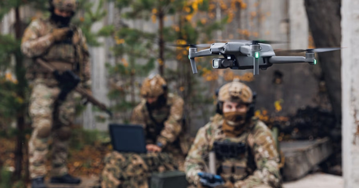
As autonomous drone systems and unmanned aerial vehicles (UAVs) become more and more commonplace in warfighting, GPS and GNSS denial is literally jamming up operations, introducing uncertainty that risks mission success in GPS-denied drone navigation.
That's where Raptor comes in. Raptor is a vision-based software suite that allows any autonomous drone platform to navigate and accurately extract target ground coordinates to a proven accuracy of 1 m, without GPS or new hardware.
Raptor is a vision-based software suite that allows any autonomous drone platform to navigate and accurately extract target ground coordinates a proven accuracy of 1 m, without GPS or new hardware.
By solving the GPS interference problem, Raptor allows operators to maintain reliable situational awareness across the battlespace, in search and rescue operations, for commercial use cases, and more. That makes it practical for GPS-denied UAV operations across a wide range of missions.
Let's dig into what makes Raptor a game-changer for all kinds of missions.
GPS denial and drop-outs are no longer theoretical. They're a reality. Systems that depend on GPS for operation are dead in the water, especially in low altitude, mountains or urban environments.
In these conditions, drones are more likely to be lost, collide with other objects or, in hostile environments, be detected and shot down. And it's not just about losing a drone—in some situations it can give away an operator’s position and put lives at risk.
Raptor provides a way to determine absolute position whether you're talking about on the ground or up in the air with or without a GPS signal. That means operators can work with confidence and, if required, from a safer standoff distance instead of positioning themselves directly in harm’s way.
It may even help teams avoid conflict altogether. With Raptor, defense operators on the ground are empowered to make smart decisions without risking lives and still accomplish the mission. That is exactly why it fits Warfighter Advantage workflows where confidence at the edge matters.
From large, expensive drones to small, expendable ones, Raptor works on all operating systems. That's because Raptor is a lightweight software package designed to be inherently platform-agnostic. Using vision-based positioning, Raptor uses a drone's native forward- and side-looking cameras.
Thanks to Vantor's partnerships with different systems integrators, we've refined Raptor using a variety of data from a wide range of operating systems and technologies, ensuring it works where and when it’s needed.
That means Raptor performs just as well on data from a quadcopter your neighborhood enthusiast flies around their backyard as it does on data from a commercial drone or MQ-9 Reaper. No added weight. No drain on power. No extra hardware required. That platform flexibility is a core reason it stands out as vision-based drone navigation software rather than a hardware-dependent add-on.
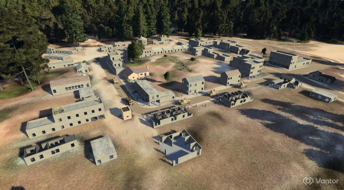
Our software can handle all kinds of imagery, from infrared (IR) to electro-optical (EO). It can also handle black-and-white and color imagery. Using Vantor’s Vivid Terrain, Raptor matches real-time imagery to features like buildings, trees and terrain to establish ground truth.
Think of how you orient yourself when you walk around a city. Instinctively, you look for landmarks to understand where you are, like familiar buildings or intersections. Out on a trail, you might use a ridgeline or standout tree. Raptor works the same way, matching what the drone camera sees to real-world features in our 3D model.
Operators can have the best tech out there, but if the devices can't work together, it's not going to work for the mission. Raptor enables systems to work together—whether legacy or new—making networked, joint UAV operations possible.
This means that different UAVs can work together for joint operations, all anchored to a common geospatial foundation. Using Raptor to register all FMV streams helps swarm scenarios deconflict and deduplicate targets as well as team more effectively because all platforms “believe” in one ground truth to act as the reference for all spatial systems. That shared reference aligns naturally with a modern spatial intelligence platform.
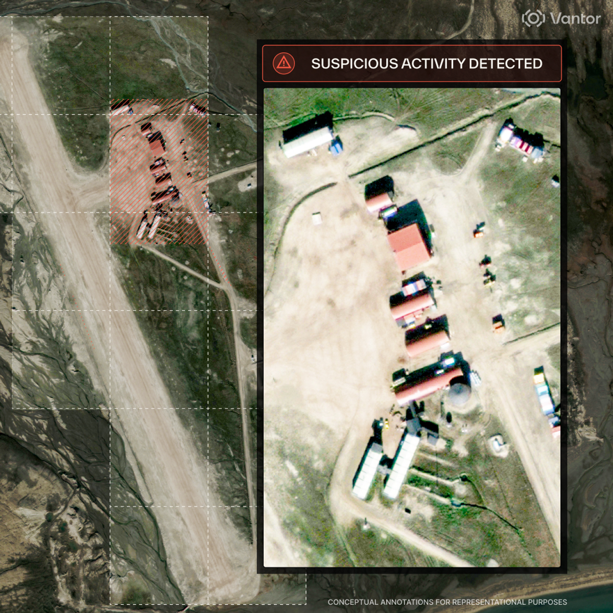
From urban canyons to low-terrain areas, Raptor delivers. Vantor is a leader in highly accurate, global-scale 3D terrain. We’ve created a living replica of Earth that is capable of extracting coordinates with 1 m accuracy. Raptor is fueled by Vantor’s 100 million-plus sq km of global 3D terrain data, allowing drone navigation without GPS pretty much anywhere in the world.
And we're constantly building and expanding this unique spatial foundation, working in 10 sq km chunks. That allows the Maxar team to rapidly build out on the order of two million sq km a month.
But what about when something happens and landmarks aren’t the same as they were before? One satellite pass and two images are all it takes to refresh the 3D data on demand.
We're pretty excited about Raptor – and we'd love to show it to you. Check out our resources to get started or book a demo with our team today.