Every few years, the defense community embraces a new technology that promises to fundamentally change warfare. Today, that conversation is centered on artificial intelligence (AI). Before AI, it was cloud computing, digital engineering, big data, and network-centric warfare. Each represented a genuine leap forward, changing how militaries collect, process, and share information.
There is little doubt AI will be equally transformative.
What concerns me is not the technology itself – though there are plenty of issues such as whether AI will replace analysts, accelerate planning, or transform command and control to debate in future posts, but the fact the conversation surrounding AI is often missing something more fundamental.
Military advantage has never belonged to the force with the most information. It has always belonged to the force that uses this information to understand the operational environment and can act on that understanding faster than its adversary.
I’ve spent more than three decades supporting military operations, intelligence, and capability development, and that lesson has remained remarkably constant despite every technological change I’ve witnessed. More importantly, it isn’t simply my observation. It has been embedded in military doctrine for decades.
Whether you read Joint Publication (JP) 5-0; Army Doctrine Publication (ADP) 3-0, JP 2-0; or Marine Corps Doctrinal Publication (MCDP) 1, Warfighting, they all begin with the same premise: before commanders develop courses of action or synchronize combat power, they must first understand the operational environment. Different services use different terminology, but they all arrive at the same conclusion: Military decisions are made within time, space, and with context.
That premise, the understanding required, is fundamentally geographic.
Throughout my career, I’ve watched our ability to collect information improve dramatically. Persistent intelligence, surveillance, and reconnaissance (ISR) activities, commercial imagery, unpiloted aerial vehicle (UAV) systems, space-based sensors provide unprecedented visibility into the battlefield. AI now promises to process and deliver on this data faster than ever. Yet despite these advances, the hardest problem remains the same: transforming information into understanding requires the appropriate context to be trusted and actionable.
I’ve seen an enemy position become operationally decisive once it was recognized as overlooking the only avenue of approach into an objective. I’ve watched changing weather force intelligence planners to redesign an ISR activity plan to safely recover a UAV that had remained on station longer than expected. The weather forecast itself wasn’t the decision. Understanding how weather, terrain, airspace, aircraft endurance, and recovery options interacted allowed commanders to preserve both the intelligence collection effort and the aircraft.
The information never changed. The operational context did.
That is why geography matters – it provides the context required for decision makers. Military decisions are rarely driven by isolated facts; they are driven by relationships. Terrain influences maneuver. Weather shapes aviation and ISR. Infrastructure determines sustainment. Distance affects tempo. Time changes opportunity. Geography is the framework that connects these variables for a coherent understanding of the operational environment.
This is reflected throughout military planning.
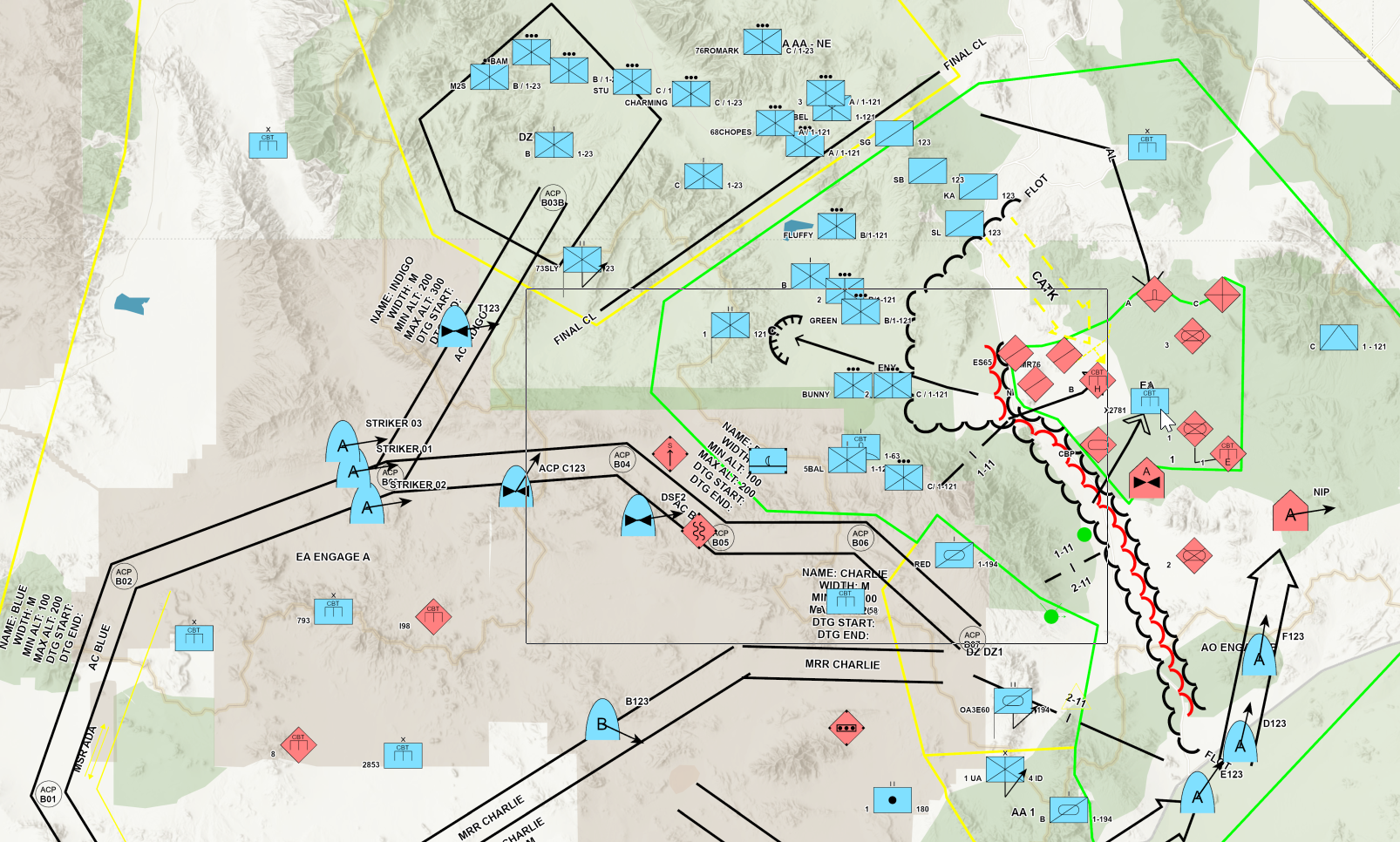
The Military Decision-Making Process (MDMP) is often described as a structured planning methodology, but nearly every step depends on geography. During mission analysis, planners evaluate terrain, weather, infrastructure, civil considerations, and enemy disposition to understand the battlespace. During course of action development, they compare avenues of approach, mobility corridors, logistics, observation, and risk. During war gaming, friendly and enemy forces are projected across time and space to evaluate likely outcomes. Even the products of MDMP—maneuver graphics, control measures, named areas of interest, decision support templates, fire support coordination measures, and synchronization matrices—are fundamentally geographic representations of a commander’s plan.
MDMP doesn’t simply consume geographic information. It uses geography as the framework within which military decisions are developed, evaluated, communicated, and executed.
This same principle extends beyond MDMP. Intelligence Preparation of the Operational Environment, the Joint Planning Process, operational design, and multidomain operations all begin with understanding the physical and human environment before considering friendly or enemy actions. Geography is not another data layer supporting military planning; it is the common framework that connects intelligence, operations, logistics, sustainment, and command and control.
Geography becomes even more important as military organizations adopt AI.
Foundation models excel at recognizing patterns within language, imagery, and massive volumes of data. Military planning, however, requires understanding relationships in the physical world. For instance, knowing that a bridge exists is useful, but understanding that it is the only crossing capable of supporting armored maneuver is operationally significant. Knowing severe weather is forecast creates awareness; understanding how that weather changes aviation recovery windows, ISR intelligence collection, logistics, maneuvers, and communications creates decision advantage.
AI can recognize patterns. Geography explains relationships.
That distinction matters because military operations occur in the physical world. AI without trusted operational context risks producing answers that are technically correct but operationally incomplete. Geography provides the context that allows AI to reason about terrain, mobility, infrastructure, weather, logistics, line of sight, and human activity as interconnected elements rather than isolated pieces of information.
Some argue that cyber defense, space domain, and information operations have reduced the importance of geography. I believe the opposite is true. Their effects are still realized somewhere. Cyberattacks disrupt physical infrastructure. Electronic warfare affects forces maneuvering across terrain. Space communications enable operations on land, at sea, and in the air. Information operations seek to influence governments, organizations, and populations rooted in real places.
The domains have expanded. The operational environment has not disappeared.
If anything, AI increases the value of geography because it increases the amount of information commanders must interpret. Geography remains the connective tissue that transforms data into operational understanding and ensures operational understanding drives informed, decisive action.
Technology will continue to evolve. New sensors will emerge. AI will become more capable. Military doctrine itself will continue to adapt.
But after more than three decades working alongside soldiers, marines, sailors, air force personnel, guardians, and intelligence professionals, I’ve become convinced that one principle has remained remarkably constant: Everything happens somewhere.The side that best understands that “somewhere” will continue to hold the advantage.
Phil Suarez
Phil Suarez is the global director of defense and intelligence solutions at Esri, where he helps shape global strategy and advance the application of geography to complex national security challenges. A retired US Army intelligence professional, Suarez brings more than 30 years of experience spanning tactical, operational, strategic, and national-level assignments. His career has focused on command, control, communications, computers, intelligence, surveillance, and reconnaissance (C4ISR); capability development; enterprise technology; and the use of geographic information system (GIS) technology to support mission outcomes. Since joining Esri, he has served in technical, business development, and leadership roles supporting defense organizations and mission modernization. Suarez holds an MBA from the Kenan-Flagler Business School at the University of North Carolina at Chapel Hill and a bachelor’s degree in software engineering.