Skydio pilots have been doing some amazing things with Skydio 3D Scan since it was announced last summer. From utility assets, to bridges, to historical sites, pilots armed with autonomous drones are completing jobs they never realized they could. We at Skydio have been thrilled to get out in the field and engage with as many of these pilots as possible to understand the true impact of the product, and know where to take it next. Today, we are announcing the first major feature addition to hit the product: 2D GPS Capture. This top-down mission planner is available to existing 3D Scan customers in the latest software update, and will be available in the “Select Scan Mode” phase of 3D Scan Setup.
2D GPS Capture enhances enterprise workflows
Thanks to Skydio Autonomy, our take on 2D GPS Capture carries advantages for pilots of all experience levels.
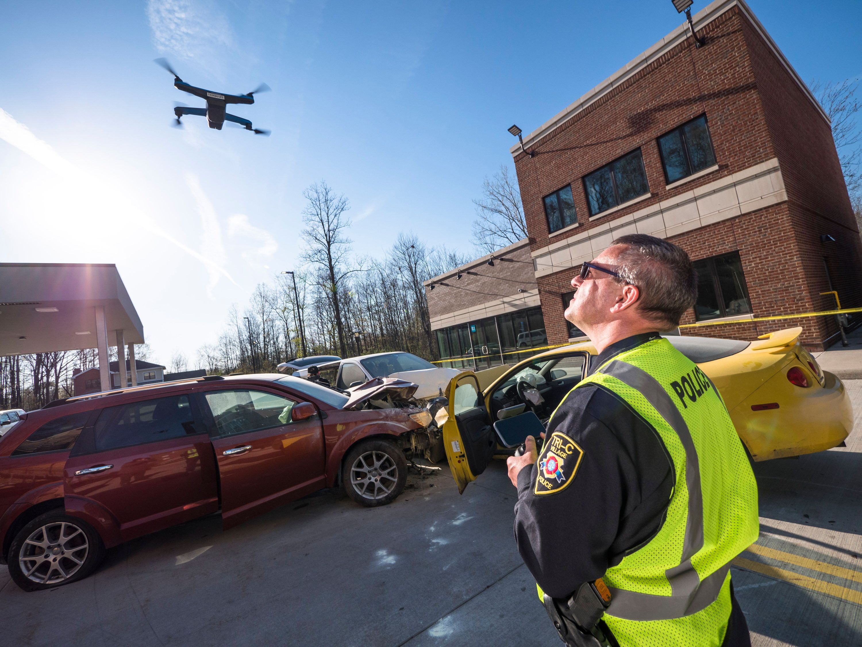
Generate 2D stitched images with ease. The truth our customers have taught us is that not every job requires a detailed 3D model as an output. Sometimes, a 2D stitched, or orthomosaic, image is the desired output. For those outputs, a 3D Capture flight is actually less efficient than the streamlined new 2D Capture workflow. This type of output is commonly required for use cases like crime and accident scene reconstruction, roadway inspections, real estate, and even search and rescue mapping.
2D GPS Capture is for any experience level. If you can set up driving instructions with a mapping app in your car, you have the technical expertise required to successfully use 2D GPS Capture on 3D Scan. The map-based interface lets you plan missions using your touch screen while the drone is on the ground - saving battery for data capture instead of using it on setup. Once you take off, the drone does all the work, even avoiding obstacles while you just monitor the scene.
Autonomy makes the job faster and safer. Other drones can blindly follow waypoints to get themselves through a 2D scan, but the seamless obstacle avoidance and path planning in Skydio Autonomy eases the pre-planning burden. Experienced 2D Scanners are used to the idea of MOCA - the Minimum Obstacle Clearance Altitude, the height at which they have to set their lawnmower-style flight pattern to avoid crashing their drone during the scripted flight. They can forget that, because 2D Capture in Skydio 3D Scan will let them fly lower, with the confidence that they can get up-close data as their drone watches out for its own safety. Skydio customers using the DroneDeploy integration have profited from this capability for some time, just ask Sam De Long, CEO of Accurate Drone Solutions:
Take advantage of 2D GPS Capture with a seamless workflow
2D GPS Capture follows a similar 3-step process to 3D Scanning, but some notable advantages make it even easier to set up a 2D Scan. Here, we’ll provide a quick overview of the process - for full instructions on how to operate 2D GPS Capture, or any 3D Scan feature, please refer to the software manual.
Set up your scan with a simple GPS-based interface. Instead of flying around the scene like for a 3D Capture, 2D GPS Capture allows the pilot to set up the scan area with the drone on the ground, using a touch screen interface.
Once the scan area is specified, operators specify the amount of overlap they need. Operators can also decide whether to have a single-direction flight, or a cross-hatched arrangement. For optimized data at the edges of the scan area, operators can also opt to have a perimeter flight performed.
Monitor the drone in flight. While the drone flies, you monitor the drone’s progress against its capture plan. If required, the drone will fly back to its Launch Point so you can change the battery and relaunch, at which point the drone will pick up where it left off.
View results on the spot or export to third-party software. The data you collect is a folder full of images. This can be hard to navigate on a mobile device, though, so it’s hard to know what data you have in the field. 3D Scan’s Edge Model Viewer works on 2D Scans as well so that you can browse your images based on a spatial index. Just tap on the part of the scan area you want to see, and the drone will present you the photos that include that point.
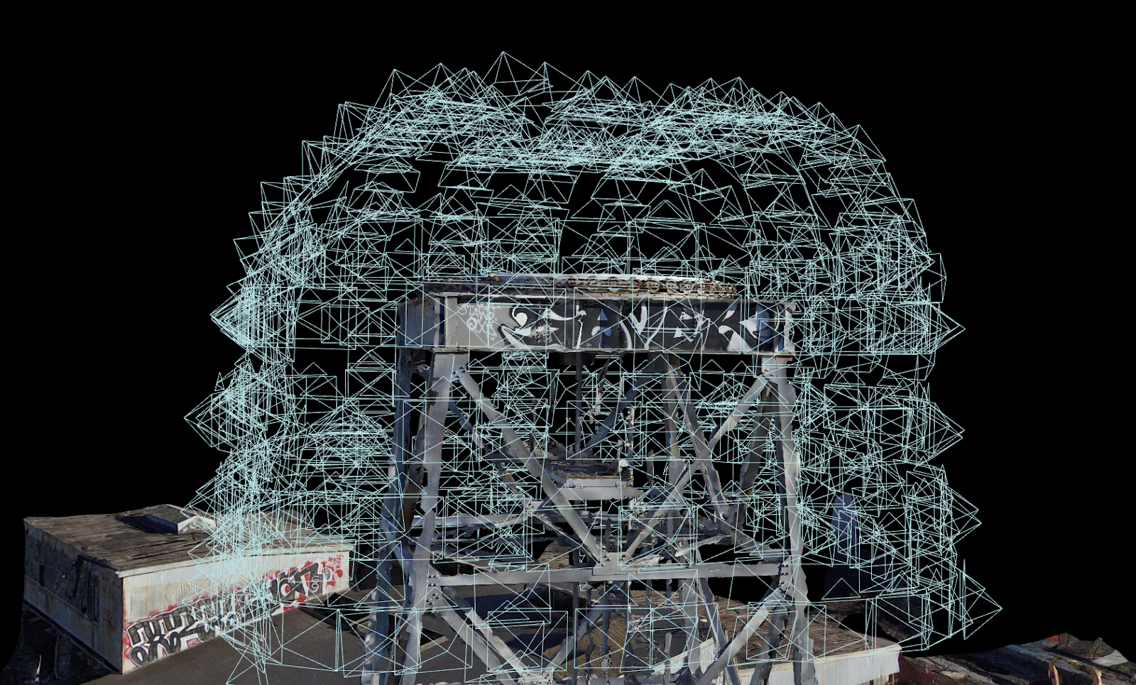
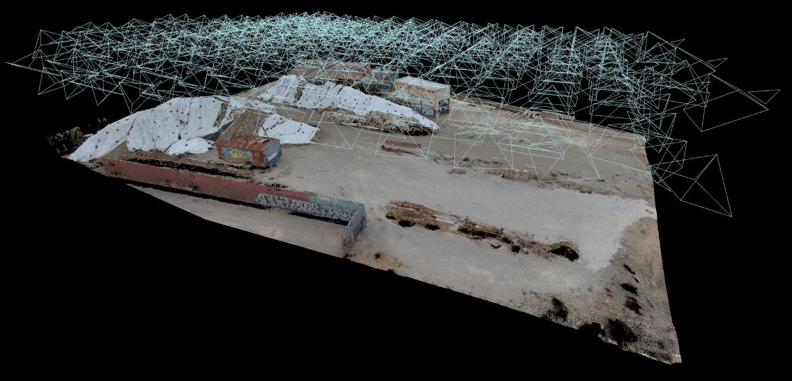
The data can then be uploaded to third-party photogrammetry software like DroneDeploy, Bentley ContextCapture, RealityCapture, and others. 2D GPS Capture datasets are most useful for generating 2D orthomosaics, or stitched images. These stitched orthomosaics are helpful for taking measurements over flat areas. This 3D view shows the camera angles taken by a 2D Scan mission.
It is the simplicity of this process that we hope will help the next generation of drone pilots deliver brilliant datasets. We look forward to continuing to partner with our Skydio Pilots to make sure they continue to get the most possible out of their aircraft. For now, we look forward to seeing some incredible orthomosaics captured in more complex environments than any other drone can enter. Stay safe out there, and if you’re looking to grow your fleet with Skydio, please never hesitate to get in touch.